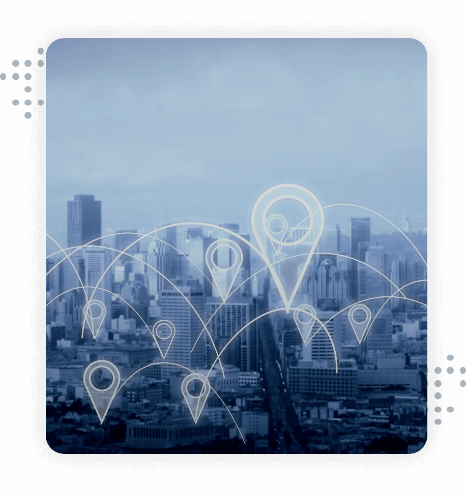
Develop safe, sustainable, and smart cities through location intelligence
Leverage geospatial data solutions for improved urban planning and infrastructure management
Accurate and latest POI data for cost-effective urban mapping and infrastructure decisions
Spatial analysis plays a vital role in building smart cities and providing a superior customer experience. Through LocationXYZ POI data, plan, build and maintain your locality efficiently and public-friendly.
Types of POI datasets for better city planning and indoor mapping

Public utility

Real estate

Community

Healthcare

Social, travel, and leisure

Education and charitable trusts
Discover urban city planning uses cases

Public healthcare
Locate the number of hospitals, clinics, and medical centers to take critical decisions on resource allocation and transport routes. Through our healthcare & public utility datasets, track the root cause of diseases, accidents, and other incidents.

Smart cities
Use real estate POI datasets to develop smarter buildings that improve the quality of lifestyle in cities and towns. Refine network planning models and infrastructure investments with accurate city planning and agile decision-making.
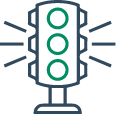
Road and traffic management
Improve road safety by managing traffic and optimizing public transport facilities. An accurate POI database allows you to spatially analyze and reduce traffic congestion by obtaining accurate road information.
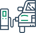
Infrastructure management
Gain better insights on energy plants, public hotspots, EV charging stations, and transport systems to track the city’s performance. Identify regions that require better infrastructure systems to devise detailed expansion models.

Mobility planning
Analyze where people are going, and how long it takes to reach there to identify their needs and fulfill them. Identify the popular POIs to improve mobility patterns, and transport routes and provide better consumer experiences.

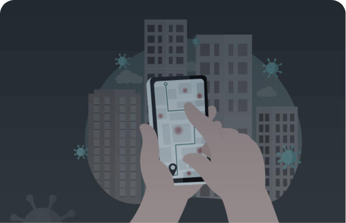
Safety and performance
Monitor environmental incidents such as pandemic outbreaks, accidents, disasters, etc. in a specific location to mitigate in the future. Improve public safety by identifying higher-risk locations and taking preventive measures.
Additional resources

What’s new in
LocationsXYZ?
Over the last few years, Xtract.io has been consistently adding new categories...Read more

How location data is reshaping the real estate industry?
Real-time location data is at the cusp of the digital revolution. Gone are the days...Read more
How location data helps during COVID-19 pandemic?
In a world upside down due to the Covid-19 pandemic, the role of location data...Read more
Create safer, cost-effective, and smarter cities by spatially analyzing geographical locations
We use cookies to ensure that we give you the best experience on our website. If you continue to use this site we will assume that you agree to our Privacy Policy and are happy with it.
© 2024 Mobius Knowledge Services | All Rights Reserved.
© 2024 Mobius Knowledge Services
All Rights Reserved.


