Solutions
Xtract.io implemented a structured and highly adaptive process to address specific requirements. To overcome the challenges, we have come up with two different solutions.
Precise retail polygons in the UK
For developing building polygons for retail parks across the UK, our team worked closely with the client to understand the criteria of geospatial data for relevant buildings within retail parks (retail, leisure, food & beverage spaces) and exclusions (petrol stations, residential and industrial buildings).
With that information, we used advanced GIS tools to extract base map data for 501 retail parks. To validate the buildings, we cross-referenced the attributes with publicly available maps. We then shared the initial samples with the client for review, confirming that the extracted data meets their expectations.
Based on the feedback, we removed irrelevant polygons and refined boundaries using more granular street-level data. We then automated quality checks to ensure adherence to the client’s specifications, followed by manual audits to verify polygon accuracy. Finally, we delivered 1717 building polygons across 501 retail parks within the UK, adhering to the client’s criteria.
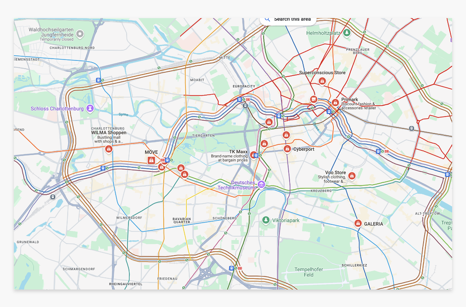
High-street polygons for European markets
To expand the scope to high street polygons in Germany and other European markets, our team followed a customized methodology for high streets like Lange Straße and Luisenstraße in Baden, Germany. Based on the client’s instructions, we included pedestrianized streets and pavement areas, excluding general traffic roads.
When street-level imagery was unavailable, we used a combination of satellite imagery, GPS signals, land use data, and client feedback to estimate polygon boundaries. For pedestrianized areas with limited visibility, polygons were drawn for entire streets as per the client’s confirmation.
Ultimately, we delivered polygons for 64 high streets and 23 shopping centers across Germany and other European regions. We used GIS automation tools for faster delivery while maintaining manual validation for accuracy.



 Go beyond automation and turn unstructured data into action
 Streamline data and turn ideas into workflows with a robust data automation suite
 Empowering innovation through purposeful partnerships.