Explore how adding a human touch to AI-driven automation improves accuracy, adaptability, and trust

Learn more
Go beyond automation and turn unstructured data into action
Drive large-scale efficiency with tailored GenAI automation expertise.
Explore nowSimplify operations and scale smarter with affordable GenAI expertise.
Explore now
Streamline data and turn ideas into workflows with a robust data automation suite
Empowering innovation through purposeful partnerships.
Access a sector-specific POI dataset with verified attributes, structured schema, and full coverage across industries.
Free POI sample tailored to your industry
20+ attributes per location including name, coordinates...
Structured schema delivered in analysis-ready formats
Polygon samples for your area of interest
Geometry with spatial hierarchy metadata
Structured schema delivered in analysis-ready formats
Download a sample of our POI database to assess the quality of the POI data before making a commitment. Examine geographic coverage, business attributes, category taxonomy, polygon boundaries, data consistency, and refresh cycles to see how the dataset can support your analytics and location intelligence initiatives.
Want to review every available attribute? Explore our detailed data schema here.
6M+ POIs
50+ Countries
11+ Industries
1M+ Polygons
40+ Attributes
One place. Browse polygon and POI datasets built by GIS specialists, verified and ready for immediate use.
6M+ Locations
110+ Segments
40+ Attributes
1M+ Polygons
API-ready Formats
Dynamic Refresh
Recognised as one of the top 30 POI data providers on Datarade, our free POI database sample reflects the same data quality, depth, and structure that businesses across 11+ industries depend on for accurate geospatial decisions.
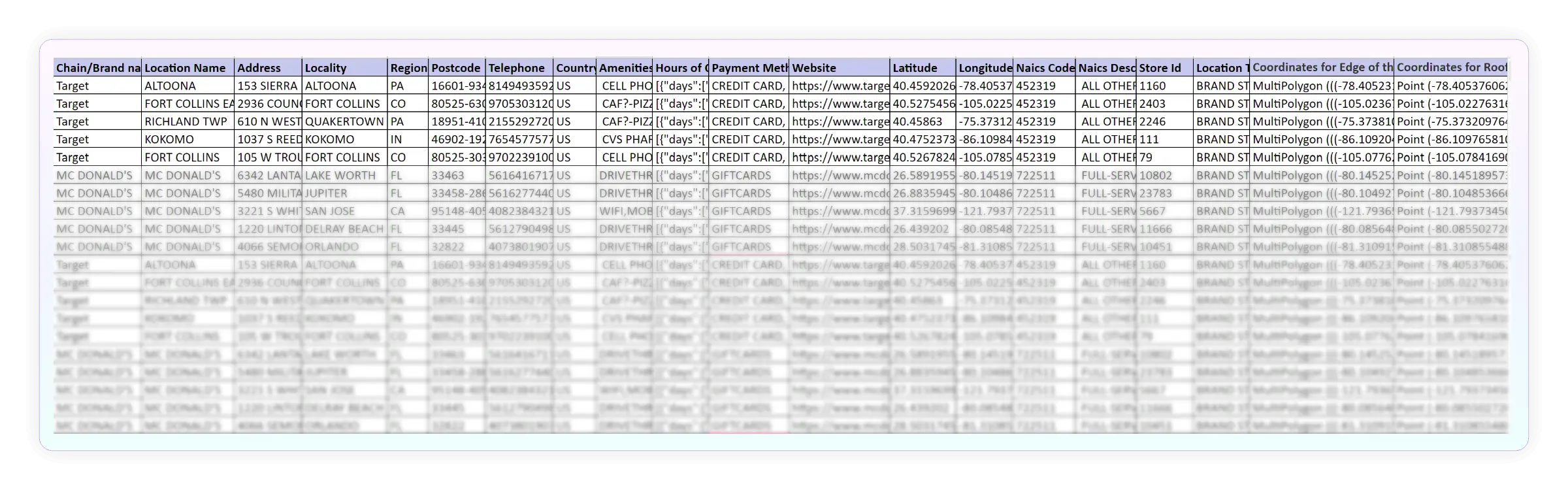
The free POI data download includes a sector-specific sample with 20+ attributes per location — covering name, coordinates, address, contact details, and category classification. You also get polygon samples with spatial hierarchy metadata for your area of interest.
Our POI data is refreshed on a 30, 60, or 90-day cycle, ensuring locations, attributes, and polygon boundaries reflect the most recent available information.
The POI data download is delivered in structured, API-ready formats compatible with standard geospatial and analytics tools.
A quality POI dataset should offer broad location coverage, reliable business attributes, accurate industry classification, and precise polygon boundaries. Reviewing these elements in the sample helps you assess whether the data fits your use case.
The POI database spans 11+ industries and 110+ sub-industries, including Retail, Food and Dining, Healthcare, Automotive, Banking and Finance, Education, Sports, and more — making it suitable for a broad range of geospatial and business intelligence use cases.
When evaluating a POI data provider, review the quality of the POI data, geographic coverage, attribute completeness, category accuracy, data freshness, and polygon precision. A sample dataset allows you to verify whether the data aligns with your requirements before committing to a larger purchase.