Points of Interest Data
that tells you where to build, sell, and win next

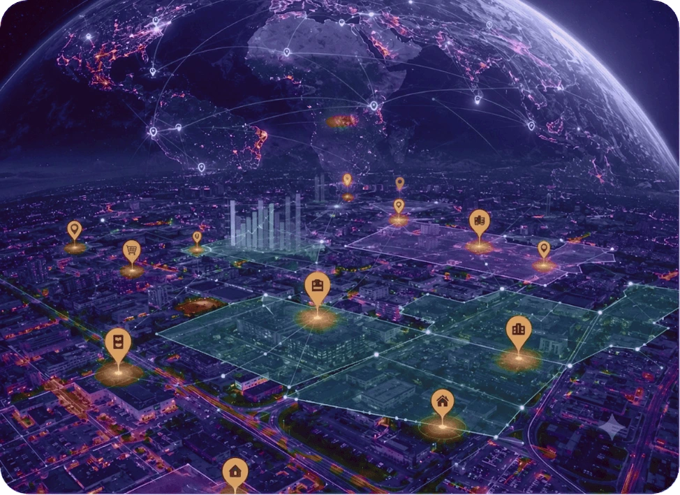
Built to plug into your geospatial stack, our Points of Interest database goes beyond standard business listings data with 6M+ data points, 1M+ handcrafted polygons, and 40+ attributes across 5,000+ brands.

Geospatial image Geospatial hover image

The global geospatial data businesses build on

Trusted geospatial data with coverage, accuracy, and freshness your location strategy demands. View freshly-updated global trends, structured in a ready-to-use default schema. ideal for geospatial mapping, spatial analysis, trade area analysis and geocoding.

Recognized as a Top POI Data provider on

How our Points of Interest data help businesses in real-time use cases

From geocoding pipelines to competitive intelligence, our points of interest datasets drive every layer of spatial strategy.

Site selection

Know exactly where to expand next. Combine our points of interest data with your sales data to model catchment analysis, and competitor density — giving you a sharper trade area analysis before you commit to any location.

Competitive intelligence

Identify whitespace and track every competitor opening, closing, and relocation across 5,000+ brands. Use spatial analysis to visualise density, proximity, and market saturation in any geography.

Indoor mapping

Map store interiors, airport terminals, malls, and complex venues with our polygon data and store-level location intelligence. Bring better spatial precision to large retail and commercial environments.

Urban planning

City planners and EV network operators use our POI database to model demand, allocate resources, and plan smarter cities — powered by accurate geocoding, spatial analysis, and mapping data.

Geomarketing

Run campaigns against real, verified points of interest data. Cut wasted ad spend and drive in-store visits with location-based services backed by clean geospatial data.

Supply chain

Cut fuel costs, time, and missed deliveries with geospatial data built on verified addresses and validated geocoding, and reduce last-mile delivery failures.

Geospatial solutions engineered for the real world

Polygon Chain Polygon Chain Hover

1 million+ handcrafted polygons across 3,000+ US chains

From store footprints within venues to airports, malls, parking lots, and park-and-ride locations, our polygon data is built for precision. Available off-the-shelf or on demand, delivered in your format of choice.

Turn POI data into actionable location intelligence

Whether you're expanding into new markets or launching location-based services, our POI datasets help improve trade area analysis, power store locators, identify new market entrants, and enhance customer experiences.

Location Intelligence Location Intelligence Hover

Fresh POI datasets and accurate geocoding solutions for every industry

Sector-specific point of interest data, curated, validated, and ready to deploy.

Real outcomes from real Points of Interest data

Powering greener retail refrigeration with precise points of interest data

Here's how retail POI data helped an energy recovery device manufacturer identify US store locations to replace polluting HFCs with cost-effective CO₂ refrigeration systems.

Read Casestudy

Building POI-rich marina datasets for safer water sports navigation

See how our attribute-rich marina points of interest data across the US and Canada helped a global maritime tech company integrate coastal navigation into their water sports product.

Read Casestudy

Enabling location-triggered offers with accurate restaurant ...

How our precise US restaurant POI data helped a payment technology provider integrate location intelligence into their app to generate real-time offers and discounts.

Read Casestudy

FAQs

Point of interest data refers to locations that people care about, like restaurants, libraries, landmarks, etc. Through geocoding, data is converted into latitude and longitude, and combined with attributes like address, postal code, and business name, to become meaningful mappable data for GPS, location-based services, and location intelligence.

We provide POI datasets that include a comprehensive set of standard POI attributes, such as business name, address, phone number, latitude and longitude coordinates, and more. Along with that, we also offer custom details, such as parking availability and other attributes, as you require.

Among the top-tier POI data providers worldwide, Xtract.io’s points of interest database consists of 6+ million POIs collected from 5000+ top brands across 11 primary industries and 118 sub-industries. You can explore the wide range of industries we cater to here.

Location data is information that describes the geographical position of a device, person, or object, usually represented by latitude and longitude coordinates. When combined with geospatial solutions, this data helps uncover patterns, behaviors, and insights tied to physical space.

Xtract.io, like other leading POI data providers, collects first-party POI data directly from official brand and chain locator websites. This approach ensures our points of interest database remains accurate, fresh, and comprehensive.

Xtract.io maintains POI data accuracy through a 30/60/90-day refresh cycle, ensuring that our points of interest database remains reliable and up-to-date. Our Process Excellence Group (PEG) performs rigorous quality checks to guarantee data coverage and precision.

Xtract.io covers major markets, including the U.S., Canada, the U.K., Australia, and Europe, with high-quality POI data. For businesses with specific needs, we also offer on-demand global POI data, making us a go-to partner among POI data providers.

Store location data is a type of POI data that provides information about retail outlets by geocoding their addresses into latitude and longitude coordinates, along with building shapes and attributes such as opening hours, amenities, and more.